Photo: Jess Morten/NOAA
What is a VSR Zone?
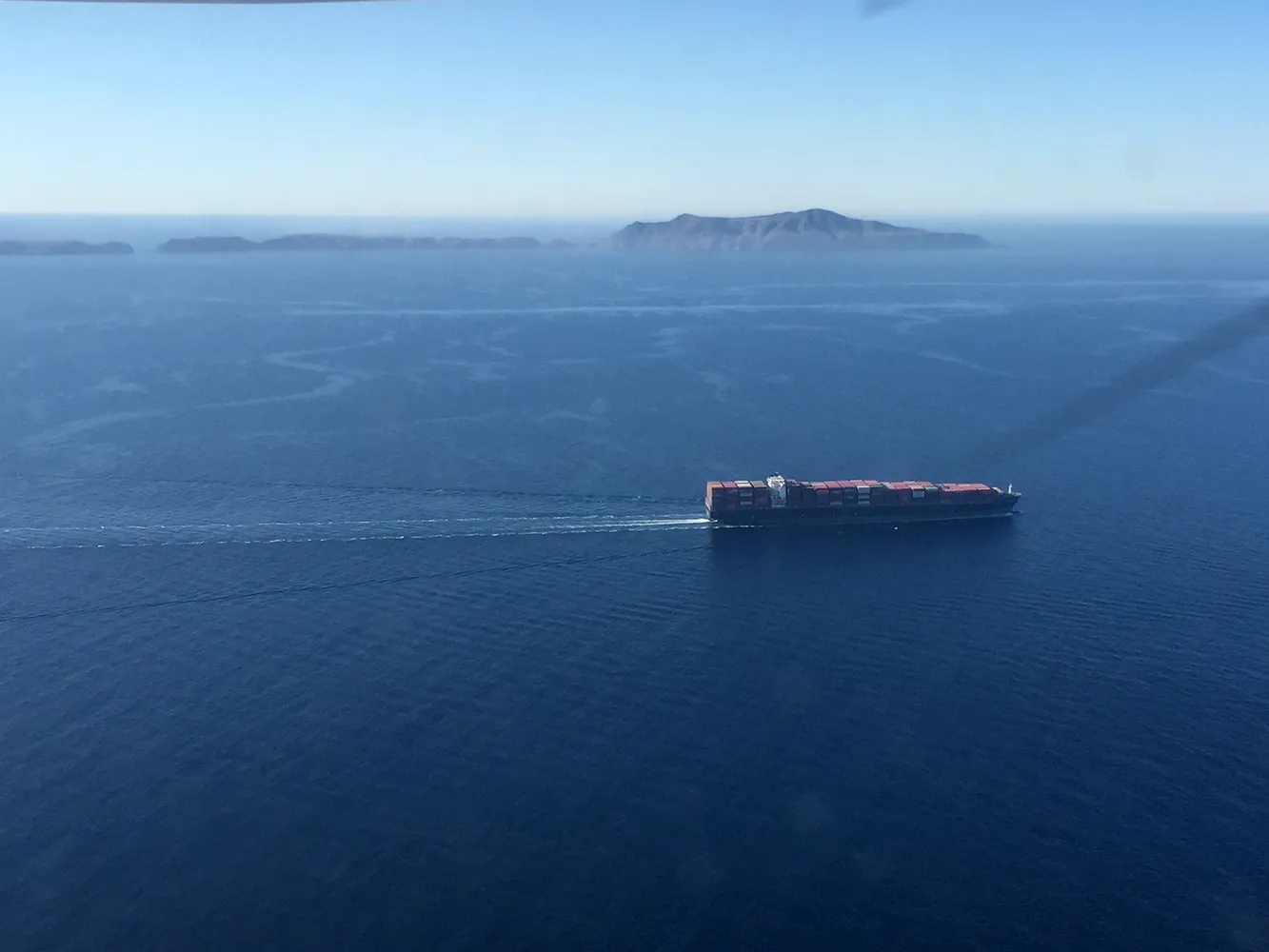
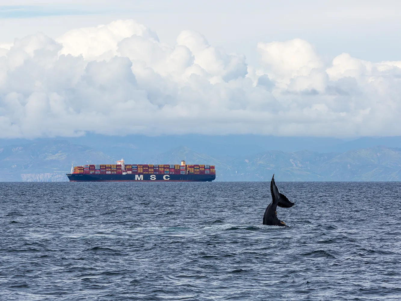
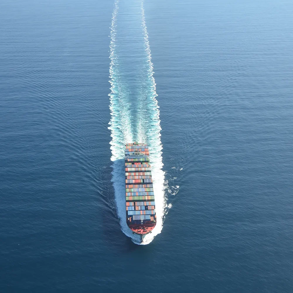
VSR stands for Vessel Speed Reduction. VSR zones are a protection measure implemented to mitigate the impacts that vessel traffic pose to marine life, coastal communities, and the environment. VSR zones are found all over the world to help reduce the risk of ship strike for whales. In California, the VSR zones focus on the conservation of endangered blue, fin, and humpback whales, whose critical habitats overlap with shipping routes going to and from several major ports.
VSR Zones
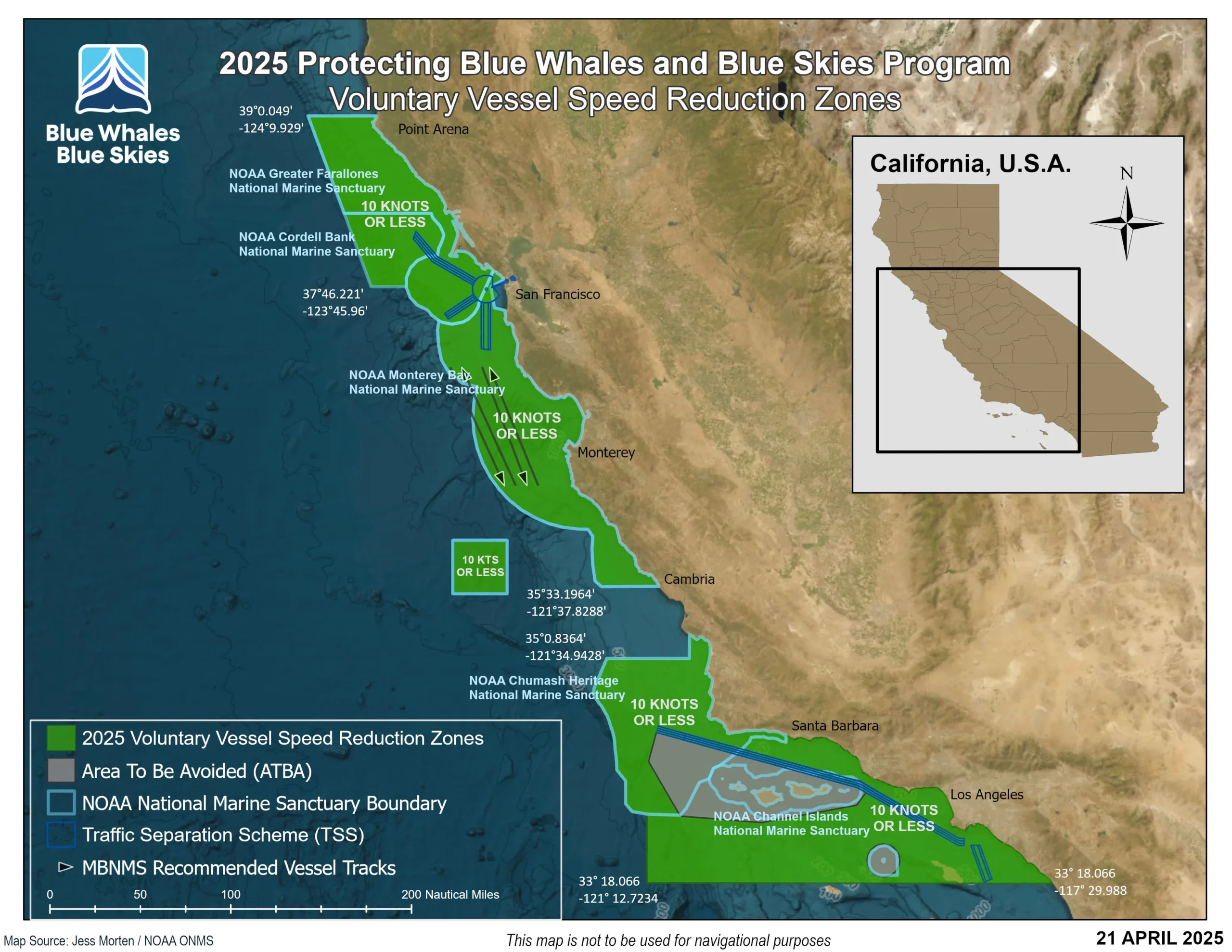
2025 VSR zones: included the southern and central California coast, including the San Francisco and Monterey Bay areas.
2026 VSR zones: further details will be released before the start of the 2026 VSR Season, including an updated VSR zone map and the 2026 Season's start and end date.
2025 VSR Zone 1: San Francisco and Monterey Bay
The San Francisco and Monterey Bay VSR zone includes the Greater Farallones, Cordell Bank, and Monterey Bay National Marine Sanctuaries. This zone targets vessel traffic going to and from the Bay Area, including Port of San Francisco and Port of Oakland, as well as transits made along the California Coast.
2025 VSR Zone 2: Southern California Region
The Southern California VSR zone includes the newly established Chumash Heritage National Marine Sanctuary as well as an area to the south that encompasses the Channel Islands National Marine Sanctuary, the Santa Barbara Channel, and the waters off of Los Angeles County and Orange County. This zone covers the vessel traffic that goes in and out of the Ports of Los Angeles, Long Beach and Hueneme, as well as transits along the California Coast.
See the 2025 VSR Zones Map (2026 Map pending)
Citizen Science: Tracking Whales Along Our Coast
Many of our shipping lines contribute to citizen science by recording whales they see along their shipping routes. The interactive map below visualizes whale sightings by company and species. Click on any point for more information.

Photo: Dustin Harris
Frequently Asked Questions
Common questions and answers for those who may be interested in our VSR efforts.

